



“The Latin Nations” 1903 Clarendon Press Atlas
$369.00
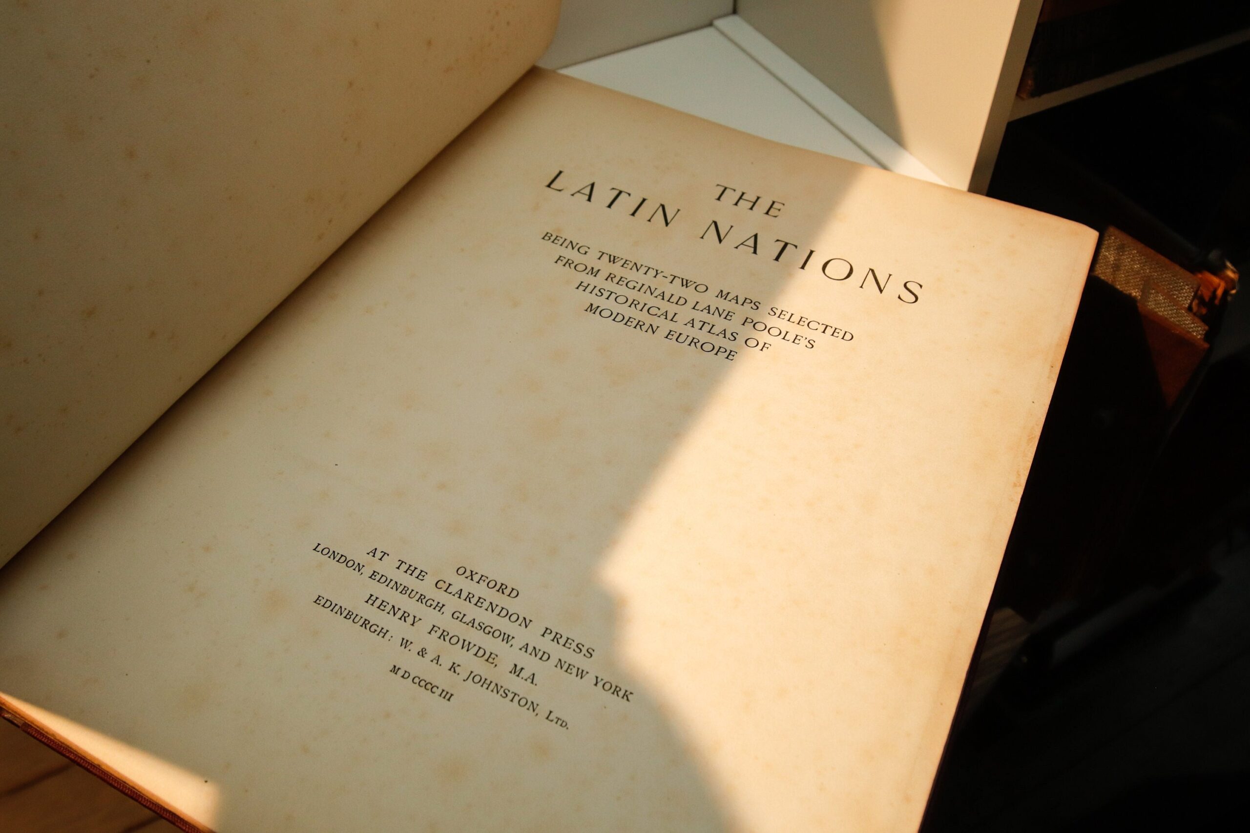
🗺️ The Latin Nations — Twenty-two full-color historical maps selected from Reginald Lane Poole’s Historical Atlas of Modern Europe, published in 1903 by the Clarendon Press, Oxford. Maps drawn and lithographed by W. & A. K. Johnston, Ltd., Edinburgh, under the direction of Publisher to the University Henry Frowde, M.A.
QUICK FACTS
- Editor: Reginald Lane Poole (1857–1939), Keeper of the Archives, University of Oxford
- Publisher: Oxford at the Clarendon Press; London, Edinburgh, Glasgow, and New York
- Year: 1903 (MCMIII)
- Lithographer: W. & A. K. Johnston, Ltd., Edinburgh
- Format: Hardcover (maroon cloth boards with leather corners and spine, gilt upper edge)
- Maps: 22 full-color plates, unpaginated
- ISBN: None (pre-ISBN era)
- Condition: full report below
THE STORY
Reginald Lane Poole was one of the foremost historians at Oxford in the early twentieth century — Keeper of the University Archives, a lecturer in diplomatics, and author of the 1912 Ford Lectures on the Twelfth-Century Exchequer. His Historical Atlas of Modern Europe, first published in 1896, was the standard scholarly reference for European political geography from the fall of Rome onward.
The Latin Nations is a curated selection from that larger work, focusing on the Romance-language countries: France, Italy, Spain, Portugal, and their colonial territories. The maps span from the Roman Empire’s division in 285 AD through Napoleon’s reorganization of Europe in 1810, with a final plate tracing European colonial expansion after the Peace of Utrecht (1713).
THIS EDITION
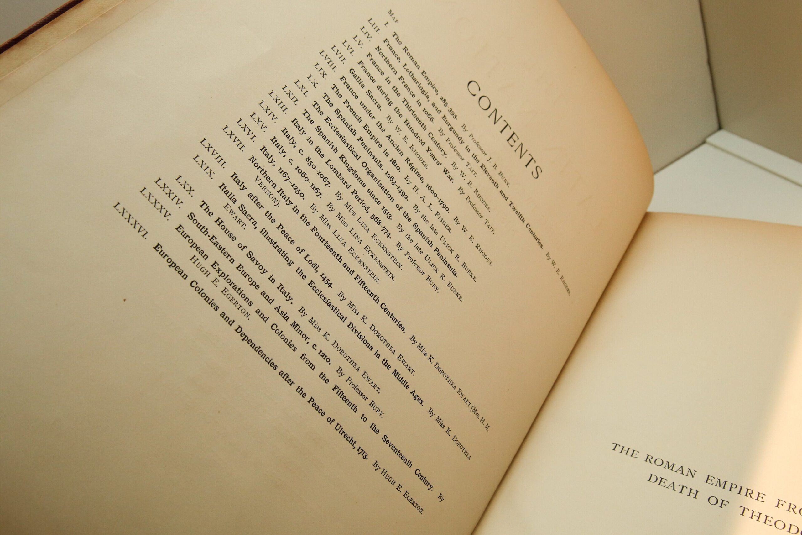
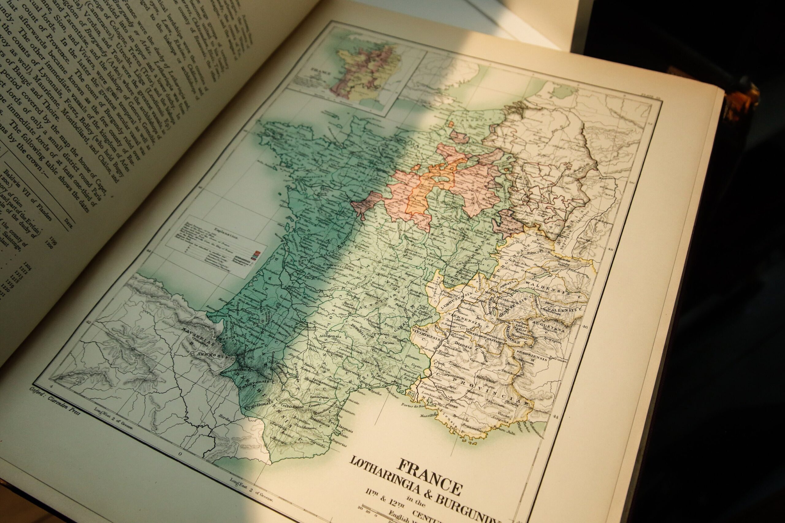
This 1903 Clarendon Press edition was printed on heavy coated stock and lithographed in full color by W. & A. K. Johnston, the Edinburgh firm that had been the official cartographers to the British Crown since the mid-nineteenth century. Each map is accompanied by a dense commentary page with historical text, and the maps are numbered from the larger atlas (plates LIII through LXXXVI, with gaps) — this subset was apparently sold as a standalone teaching and reference volume.
COVER ART / ILLUSTRATIONS / DESIGN
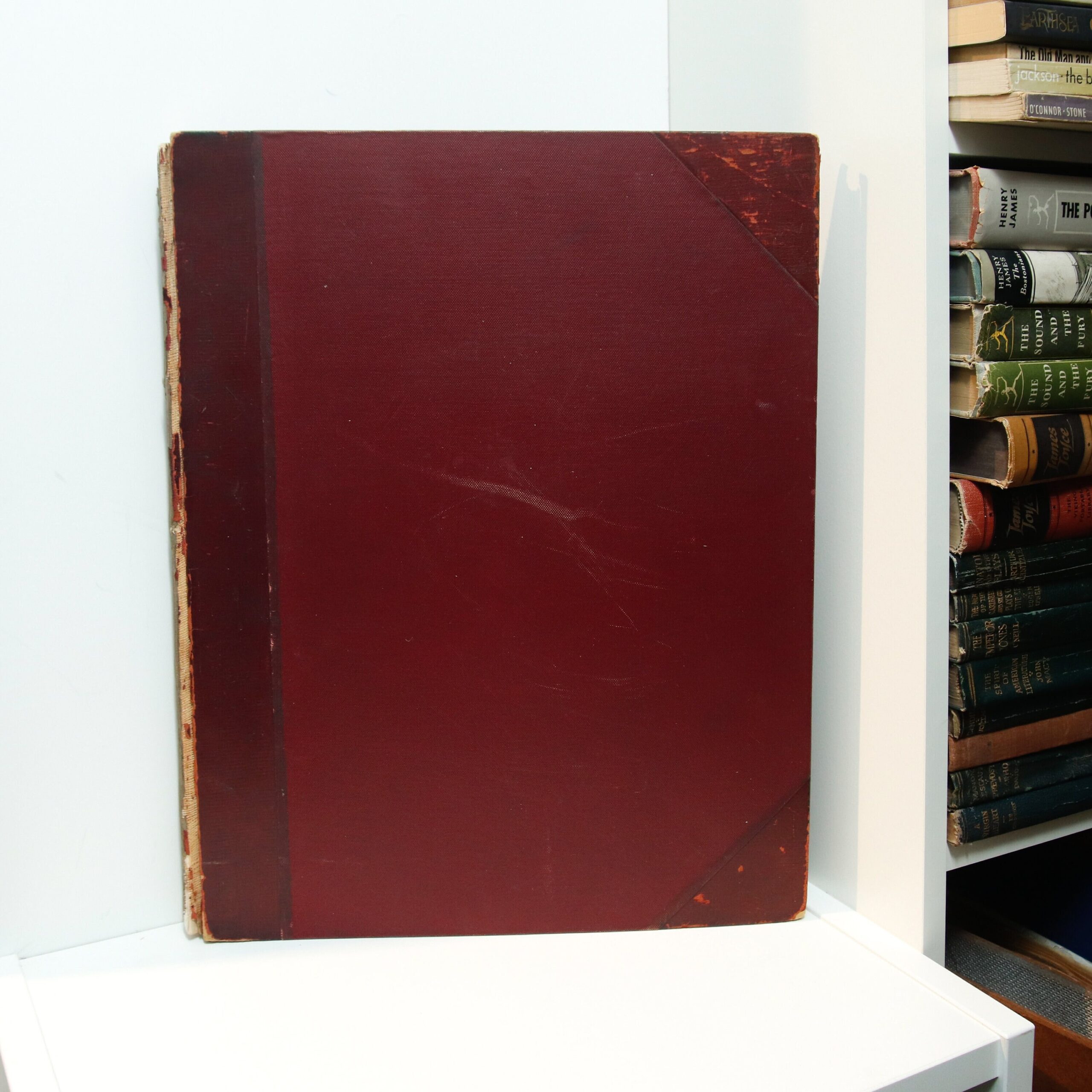
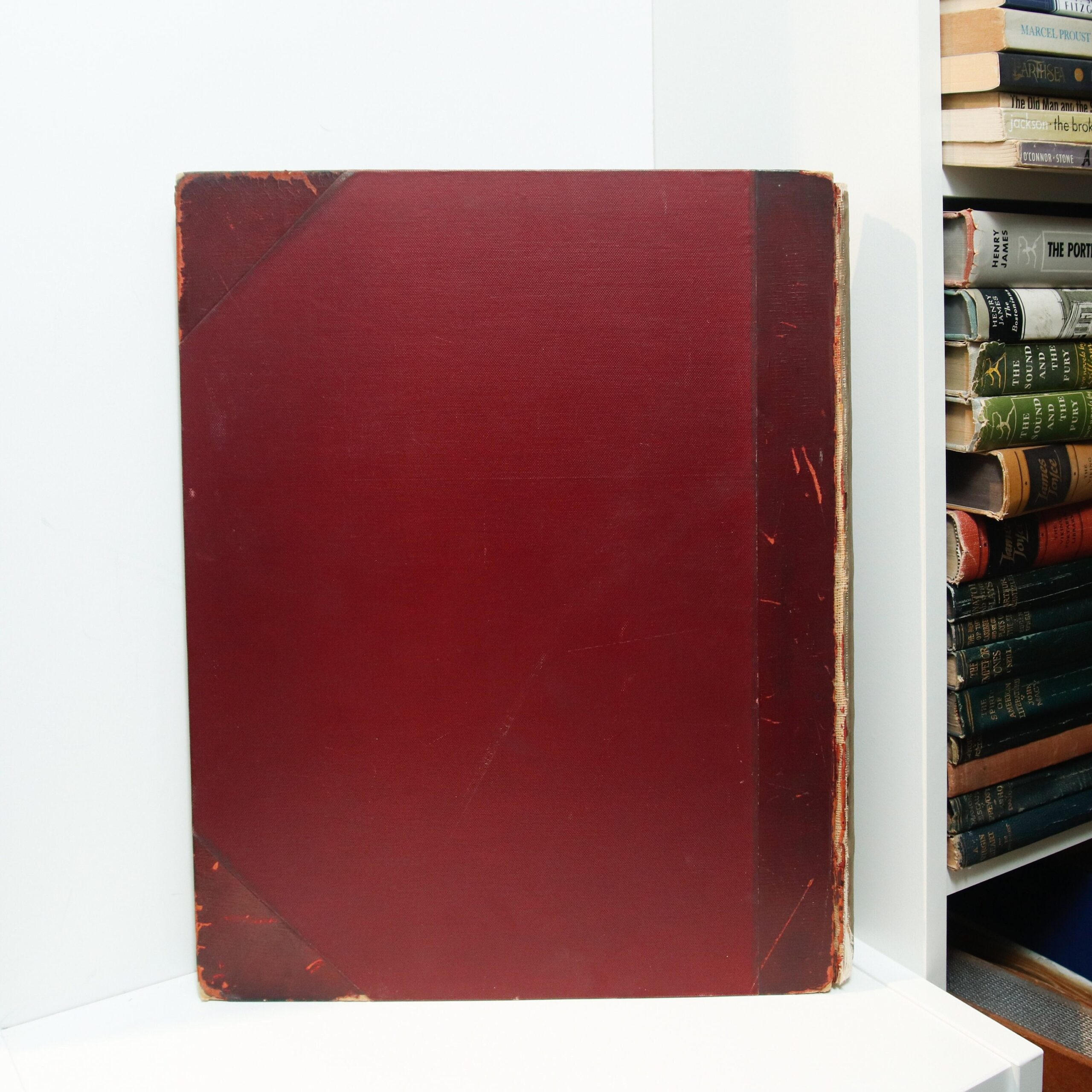
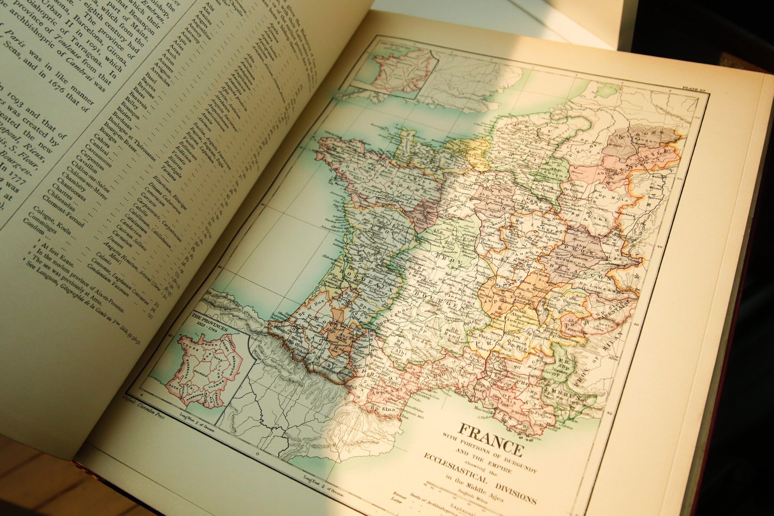
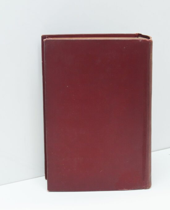
The atlas is bound in deep maroon cloth boards with darker leather corners and spine. The gilt upper text block edge remains bright and relatively unworn. The front cover is unlettered — all identifying text appears on the title page. Inside, the maps use a muted Edwardian palette: greens, pinks, and yellows to delineate political entities, with fine black linework for borders, rivers, and hachured mountain ranges. Each plate includes a detailed legend (labelled “Explanation”), latitude/longitude markings referenced to the Greenwich meridian, and a scale bar in English miles. The title page shows scattered foxing consistent with the 120-year-old paper stock, but the maps themselves are clean and the colors remain vivid.
WHY IT MATTERS
- Contributors include Professor J. B. Bury (Regius Professor of Modern History, Cambridge; author of The Later Roman Empire), Hugh E. Egerton (imperial historian), and K. Dorothea Ewart (Mrs. H. M. Vernon)
- The Clarendon Press imprint places this in the same publishing lineage as the Oxford English Dictionary, which Henry Frowde championed during his tenure as Publisher to the University (1880–1927)
- Complete with all 22 maps showing the evolution of European political geography across fifteen centuries — from Roman provincial boundaries to Napoleonic departmental divisions
- The maps cover the Reconquista-era Spanish kingdoms (1263–1492), medieval ecclesiastical divisions of France, the Lombard Period in Italy, and the colonial empires of Spain, Portugal, and the Netherlands
FREQUENTLY ASKED
What edition is this? The 1903 Clarendon Press (Oxford) first edition of the standalone “Latin Nations” extract from Poole’s larger Historical Atlas of Modern Europe.
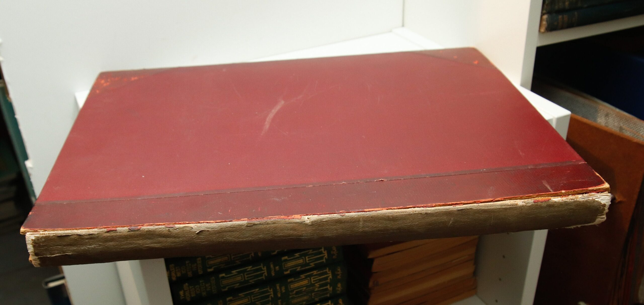
What condition is it in? “Good plus” or better — binding and hinges intact, text block complete with no loose or torn pages, gilt edge bright. Board corners are heavily bumped and worn; leather on spine is worn away with underlayment visible. Maps inside are bright and colorful. Full report below.
Are all 22 maps present? Yes — the Table of Contents is complete and all maps verified in the images.
FOR COLLECTORS
A scholarly atlas from the golden age of British academic cartography, with maps by some of the finest historians of the Edwardian era. The Clarendon Press imprint and W. & A. K. Johnston lithography make this both a research reference and a handsome shelf piece — the kind of atlas that looks better with age.
This is a “good plus” or better antique atlas in maroon cloth wrapped boards with leather corners and spine, gilt upper text block edge, published in 1903 by the Clarendon Press, unpaginated.
The binding and hinges are intact. The text block is complete, no loose, torn or folded pages. No writing. Text block closes tightly. Board corners are heavily bumped and worn. The leather on the spine itself is worn away with under lament visible. Gilt upper edge is bright, relatively unworn. Pages and maps inside are bright and colorful.
See accompanying images for full condition details.
Will ship promptly, carefully packaged, insured.
HFB-SEO-v1: 2026-07-04
1 in stock
Related products


The Big Time Fritz Leiber 1982 vintage paperback
The Big Time Fritz Leiber 1982 vintage paperback

Vintage Sci-Fi Double Novel: Ace Planetary Agent X, 1965 Paperback
This is a "good plus" to "very good -" vintage paperback. No writing, no loose, no torn or folded pages. Text block closes tightly. Text block edges are lightly tanned. Both covers are have reading creasing along the spine edge. Insides of the covers are heavily tanned. See accompanying images for full condition details. Will ship promptly, well packaged.
Vintage Sci-Fi Double Novel: Ace Planetary Agent X, 1965 Paperback
This is a "good plus" to "very good -" vintage paperback. No writing, no loose, no torn or folded pages. Text block closes tightly. Text block edges are lightly tanned. Both covers are have reading creasing along the spine edge. Insides of the covers are heavily tanned. See accompanying images for full condition details. Will ship promptly, well packaged.

Dragon’s Teeth Eça de Queirós Ticknor 1889 First Ed
1889 Ticknor first American ed of Eça de Queirós's scandalous Portuguese realist novel, translated by Mary J. Serrano. Maroon cloth, 516 pages. Very good.
Dragon’s Teeth Eça de Queirós Ticknor 1889 First Ed
1889 Ticknor first American ed of Eça de Queirós's scandalous Portuguese realist novel, translated by Mary J. Serrano. Maroon cloth, 516 pages. Very good.
Galapagos Kurt Vonnegut 1985 Science Fiction Book Club Hardcover
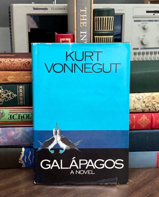
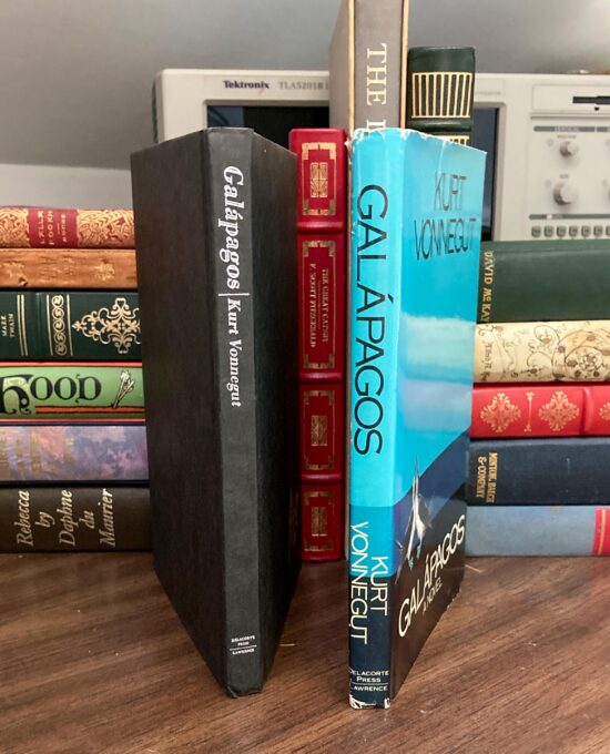
Tight vintage hardcover with crisp, solid binding. No loose, torn or folded pages, no writing. Board corners are crisp, not bumped. Spine head and heal lightly bumped. Board wraps are uniform all around, not tanned, spotted or faded. Text block edges are uniform. Titling on the spine and front board is bright, not rubbed or faded. Matching vintage dust wrapper is clipped inside lower front flap. Has some closed 1/2" tears and small edge chips here and there, most notable at flap fold corners and spine edges. Color is uniform all around, not sunned. Small scotch tape repair on upper front edge. See the accompanying images for table of contents & full condition details. Will ship promptly, carefully packaged, with tracking.
Galapagos Kurt Vonnegut 1985 Science Fiction Book Club Hardcover
Tight vintage hardcover with crisp, solid binding. No loose, torn or folded pages, no writing. Board corners are crisp, not bumped. Spine head and heal lightly bumped. Board wraps are uniform all around, not tanned, spotted or faded. Text block edges are uniform. Titling on the spine and front board is bright, not rubbed or faded. Matching vintage dust wrapper is clipped inside lower front flap. Has some closed 1/2" tears and small edge chips here and there, most notable at flap fold corners and spine edges. Color is uniform all around, not sunned. Small scotch tape repair on upper front edge. See the accompanying images for table of contents & full condition details. Will ship promptly, carefully packaged, with tracking.
Reviews
There are no reviews yet.